|
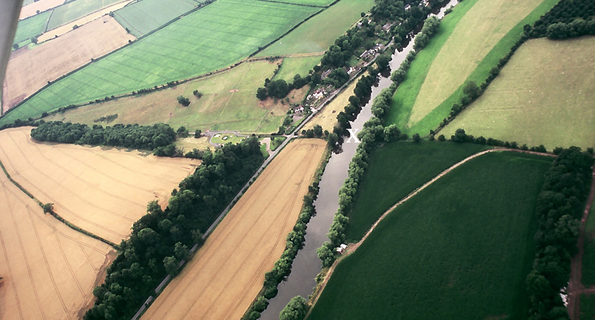
'x' marks the site of 'Red Rail Ford' on Isaac Taylor's 1754 map of Herefordshire. It is at the extreme southern end of the village of Hoarwithy. Hentland is on the left (West) and King's Caple on the right. |
|
|
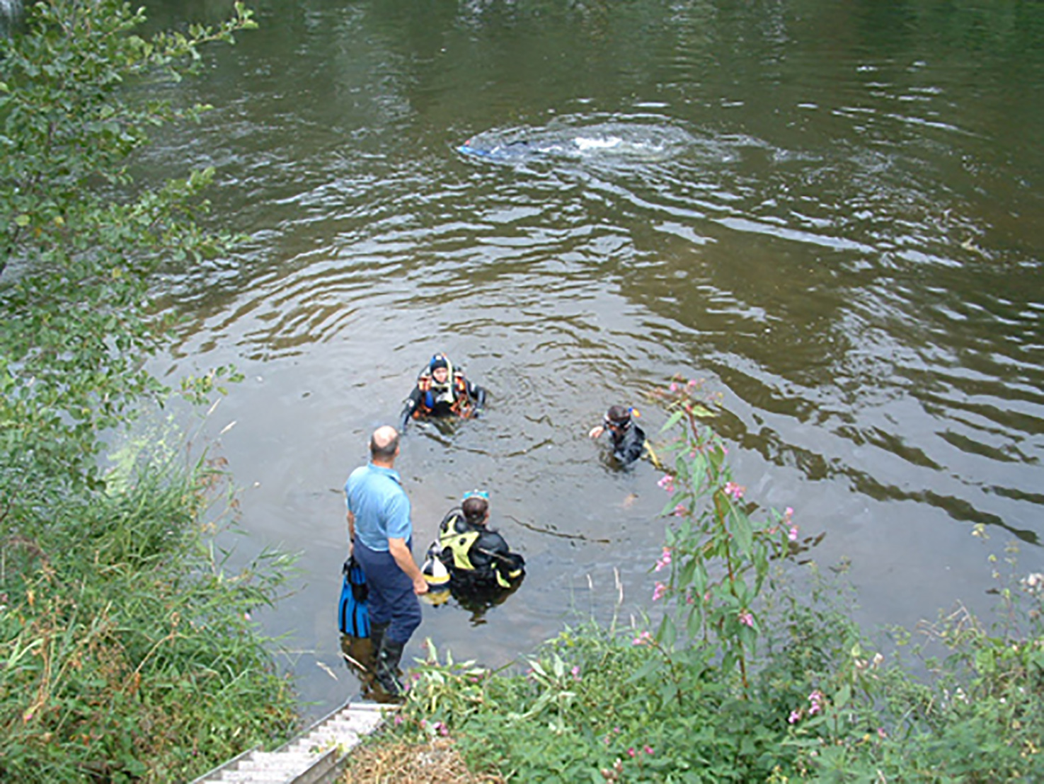
Red Rail is an entirely mysterious name. It was the location of bark ricks and a wharf for loading barges. Bark was taken by barge to be used by the tanning industry On the Hentland side of the ford site a short length of greenway runs between the river and the main road. In 2008 the Hentland side of the ford site was excavated. At the same time the riverbed was investigated by the Ross on Wye Sub Aqua club. Here a cobbled track leading to the river is being excavated. |

|
|
Members of Ross-on-Wye Sub Aqua Club examining the bed of the river at Red Rail Ford |
|