Now a farm 750 metres north of Hentland church, Kynaston was a medieval township. In 1523 it was assessed with Llanfrother as Kynarston and Henfrowder.
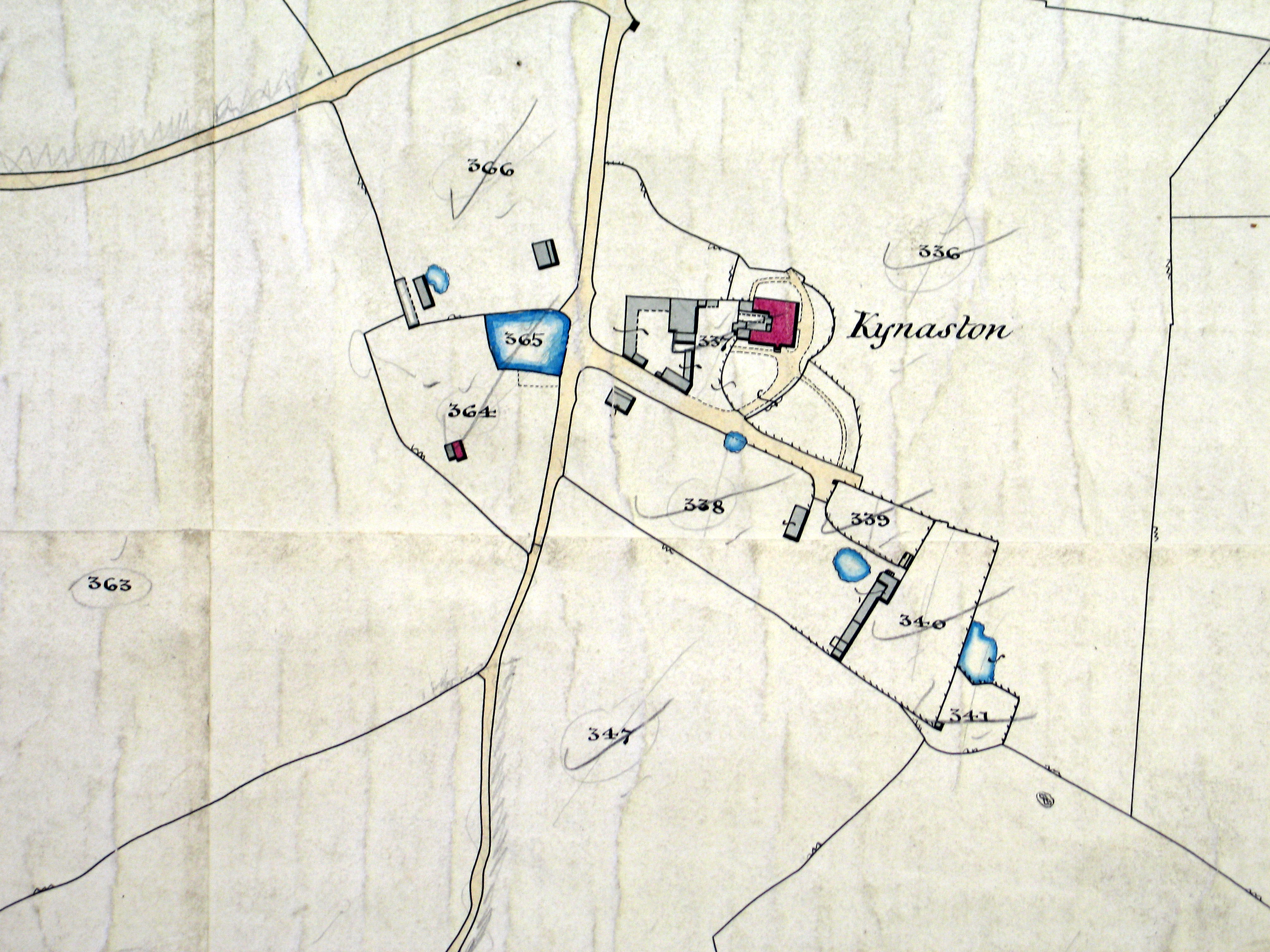
The manor house at Kynaston apparently had surviving features dating from at least the 15th century. Kynaston is marked with a small rectangular park to the north-east of the house on the 1" Ordnance Survey plan of 1831. In 1799, however, when the estate belonged to Thomas Powell Esq., who had just deceased, it was described as "a capital spacious mansion capable of being easily converted into a suitable residence for a gentleman". In 1902 the house was regarded as a principal residence and said to "command lovely views of the Wye and the beautiful scenery on the opposite side of the river". It was demolished in 1928.
| Kynaston on the tithe map |
 |
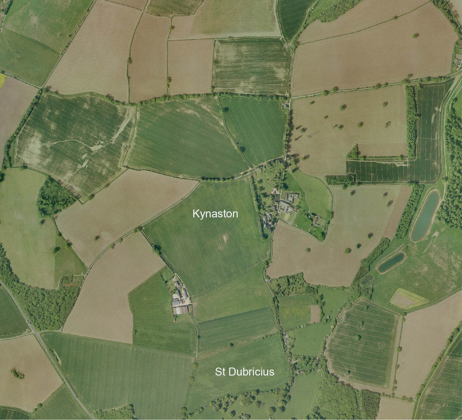
| Kynaston from the air. |
 |
| name | assessment |
|---|---|
| David Bennett | 13 pounds 6 shillings |
| William Sweyne | 100 shillings |
| John Sweyne | 7 pounds |
| William Mallegwyn | 4 pounds |
| John Wathen | 40 shillings |
| Richard ap Howell | 7 pounds |
| John Taylor | 20 shillings |
| Joan Vaughan (widow) | 40 shillings |
| Richard Tyler | 20 shillings |